Centimetre-accurate aerial data,
straight into your workflow.
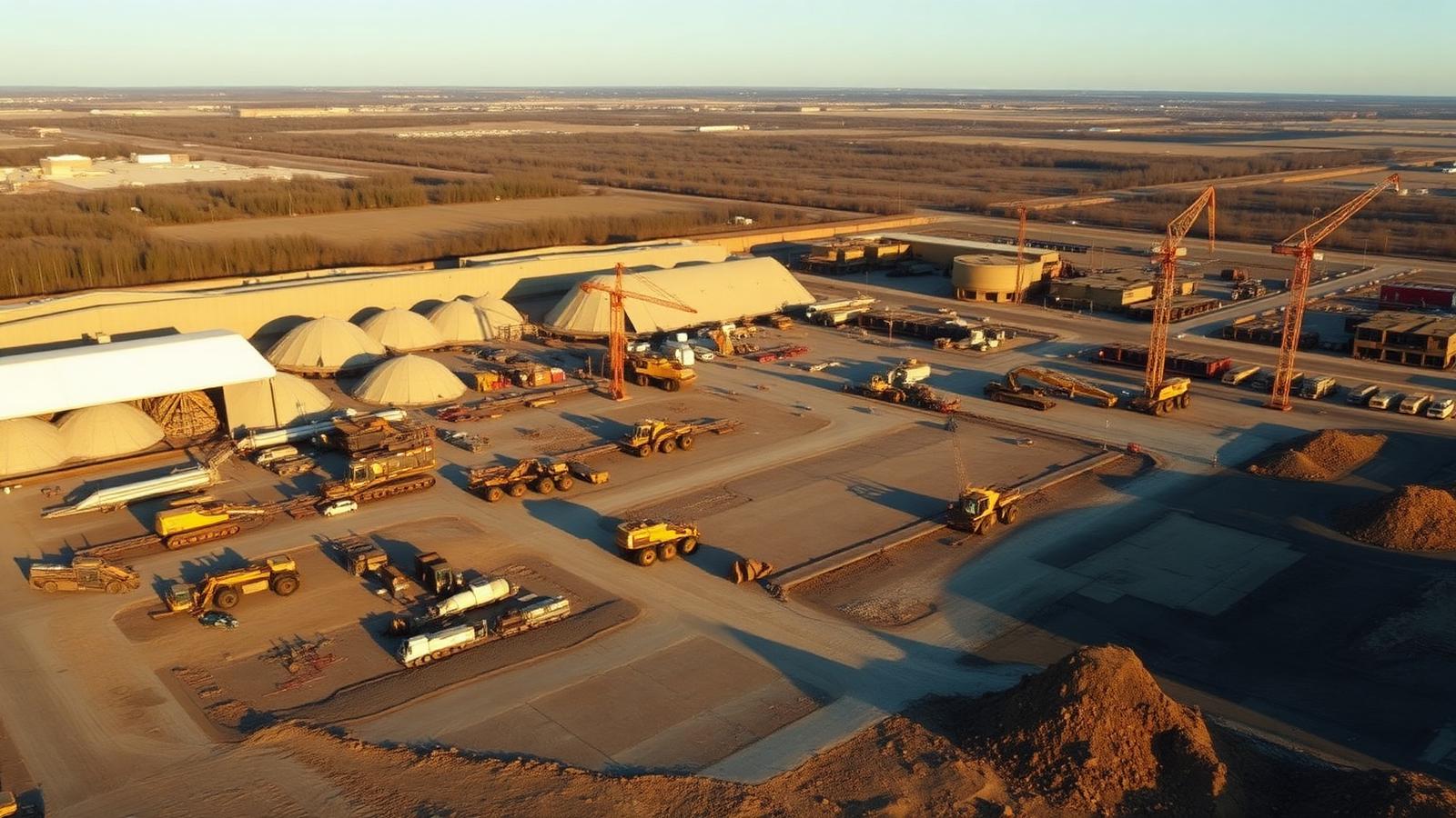
From construction sites to farmland — with professional RTK drones and photogrammetric software we deliver orthophotos, 3D models, DTM/DSM and volume calculations that fit directly into your CAD, GIS or BIM environment.
Six types of geospatial output, one flight.
From a single set of aerial captures we distil several datasets at once — you choose what you need, we deliver it integrated.
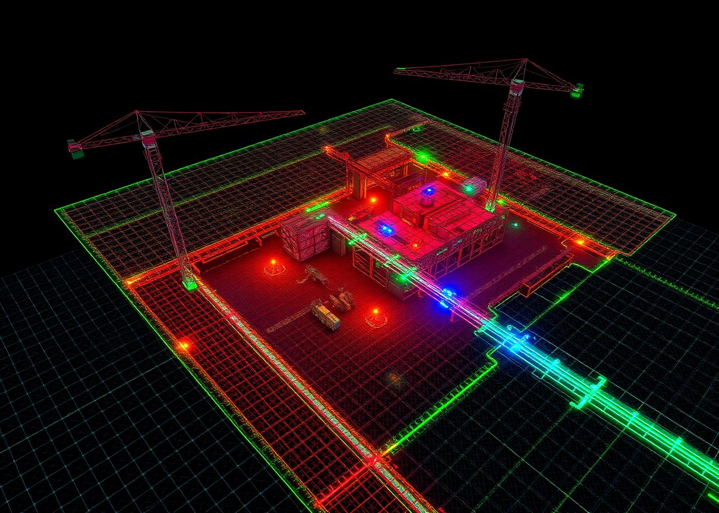
Your site as a digital twin.
From hundreds of calibrated aerial captures we build a photogrammetric reconstruction: a dense point cloud, textured mesh and surface model. You can navigate it, measure, cut and simulate — for a fraction of the time and cost of traditional surveying.
- 3D measurements: distances, surfaces, heights and volumes
- Cross-sections, contour lines and profiles exportable to CAD
- Comparison between two flights shows exactly what changed
- Ideal basis for as-built reports and project communication
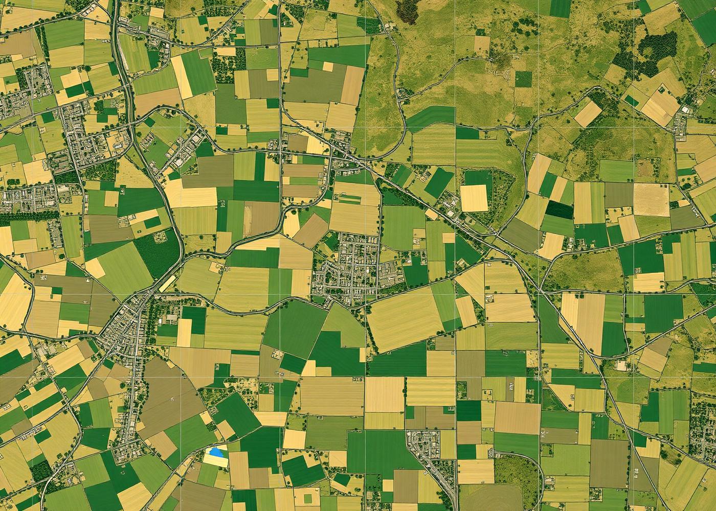
A seamless, geometrically corrected aerial map of your entire site. Measure distances and surfaces directly on the map — no distortion, no perspective.
Exact volumes of stockpiles, excavations and fills — accurate to the cubic metre. Ideal for tonnage control, invoicing and site progress tracking in earthworks and mining.
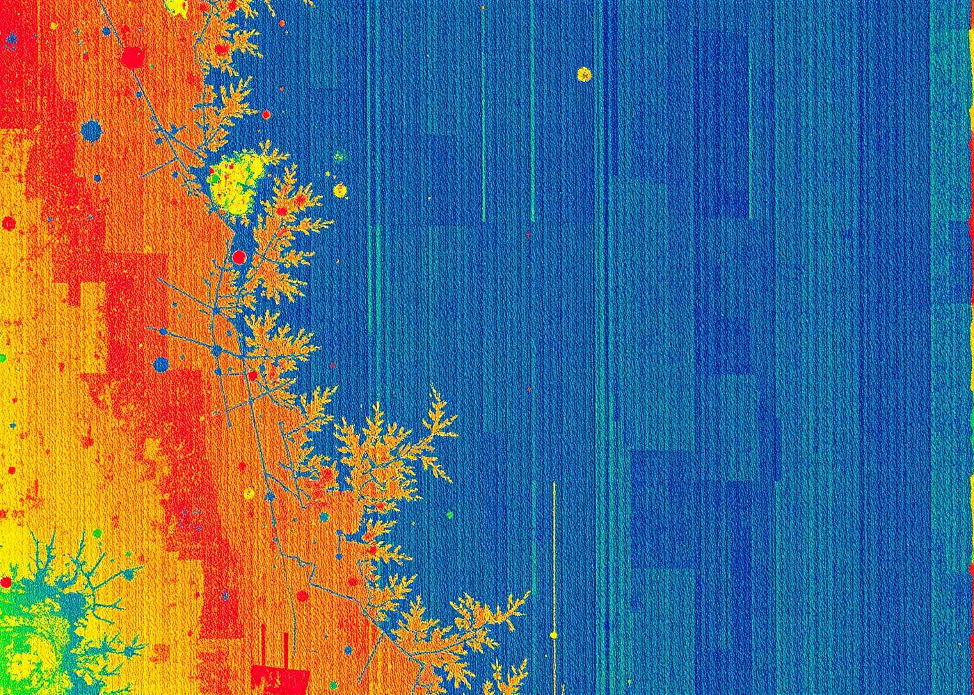
NDVI maps that save your harvest.
With multispectral sensors we accurately image crop health, moisture stress and variation across your plot. Detect problem zones before they're visible, adjust your fertilisation or irrigation strategy and increase your yield per hectare.
Six sectors, one measurement platform.
Six steps, from intake to integration.
- 1Intake & scopingYou provide us with the perimeter, desired output (ortho, 3D, volumes…) and required accuracy. We confirm feasibility and methodology.
- 2Flight plan & GCPsWe plan the flight grid with correct overlap (80/70%) and, if needed, place ground control points for absolute accuracy.
- 3Data acquisitionAutomated flight with RTK drone. Every capture is corrected in real time to centimetre precision.
- 4Photogrammetric processingProcessing in professional software (Pix4D / Metashape). Alignment, dense cloud, mesh and orthomosaic.
- 5Quality controlVerification of GCP residuals, RMSE values and dataset completeness. No data leaves us without validation.
- 6Delivery & integrationDelivered in the format of your workflow — with technical report and, on request, support for CAD/GIS integration.
Drone mapping vs. traditional surveying
Traditional surveying with a total station or GPS rover is accurate but slow and limited to point measurements. From the air we cover an entire site — with the same accuracy, in a fraction of the time.
Your data, in your format.
We never deliver a dataset you still have to convert yourself. For every assignment we tailor the export format to your software — AutoCAD, Revit, QGIS, ArcGIS, Pix4D or Cintoo. That way our aerial data lands directly on the right layer in your workflow.
What you often want to know about drone mapping.
How accurate are your measurements?
With our RTK drones we achieve 1 to 3 cm relative accuracy as standard. For absolute georeferencing, we additionally place ground control points (GCPs), achieving RMSE values below 2 cm — ideal for construction, mining and surveying applications.
How much area can you map in a single day?
Depending on the desired GSD and overlap: on average 40–100 hectares per 30-minute flight. Larger sites (>200 ha) are split across several battery swaps and stitched together during processing.
In which formats do you deliver the data?
GeoTIFF, LAS/LAZ, DWG/DXF, OBJ, FBX, IFC and Shapefile — all our datasets can be imported directly into AutoCAD, Revit, QGIS, ArcGIS and most BIM environments. We tailor the export format to your workflow.
Do you work together with surveyors?
Yes. For official boundary determinations or sworn measurements, a licensed surveyor is required. We supply the aerial data (orthophoto, DSM, point cloud) on which they perform the legal checks — saving you up to 70% of time in the field.
Can a 3D model be used for volume calculations?
Absolutely. From our photogrammetric reconstruction we derive exact volumes of stockpiles, excavations or fills. For recurring measurements we establish a fixed reference baseline — so monthly volume differences are directly comparable.
Do you need a permit?
For most sites in the OPEN category, we fly under our own certification. For controlled airspace, inner-city or industrial zones, we request an operational authorisation from the DGLV — included in our quote.
Do you work throughout Belgium?
Yes. Standard travel is included within 15 km of Geraardsbergen. For larger or recurring assignments elsewhere in Belgium, we prepare a project quote with a possible mileage fee — always transparent and agreed in advance.
From flight plan to CAD file — we take care of everything.
Request your no-obligation quote. We'll send you a tailored proposal for your project within 24 hours, with clear delivery times and export formats.